Never Alone
It’s that time of year. Every fire season, millions of acres across the world burn during wildland fire events. Worse, between 2000 – 2019 alone, more than 400 wildland firefighters lost their lives fighting these fires while protecting civilians, homes, and forests. While the hazards faced on the fire line can include burnovers/entrapments, heat-related illnesses and injuries, smoke inhalation, vehicle-related injuries (including aircraft), slips, trips, and falls, and others, too many occur because the wildland firefighter can’t be located with precision.
As with military and post-disaster environments, denied and/or contested communications can contribute directly to many of these losses. While telecommunications companies largely focus on populated areas to place small cells and towers, too often wildland fires occur where there is little or no commercial terrestrial broadband services. The good news is that private 5G, CBRS, and even 4G/LTE tactical networks can be brought to the scene, but this capability is not yet pervasive.
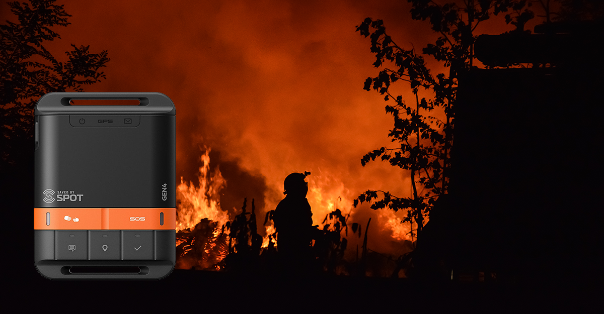
Blueforce has supported a wide array of taggers, trackers, and locators since 2012 through our work with the defense and intelligence community agencies we serve. We are pleased to announce the new SPOT Satellite Tracker Plugin for BlueforceEDGE which can query or listen for tracks, alarms, checkins, and generic messaging provided by the Globalstar SPOT product line. These trackers are then displayed on BlueforceTACTICAL and BlueforceCOMMAND software clients giving the on-scene commander full awareness of deployed personnel alongside of the environmental, weather, ISR, and physiological IoT sensor data enabled by the rest of the Blueforce product line.
This plugin will enter beta testing in early June. If you would like more information, call us at 866-960-0204 or send an email to info@blueforcedev.com.
