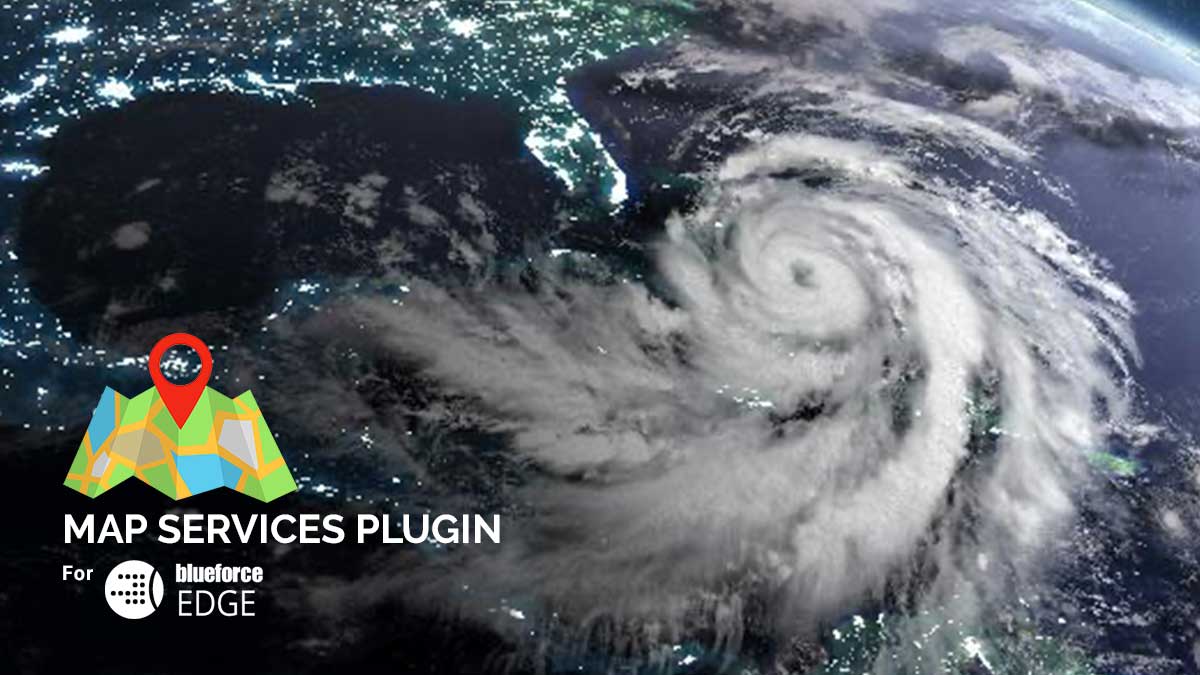
Map Services Plugin for BlueforceEDGE
Ask anyone who has responded to a natural or manmade disaster and they will tell you, these events create the mother of all non-predictive inter-agency mashups. The multitude of agencies responding from outside of the incident area creates a need for hyperlocal services that assist in navigation, but also enable the finding and discovery of resources in the affected area of operation that can be used to mount an accelerated response.
Members of Blueforce have provided on-the-ground and remote support for a multitude of mass casualty events including Phase 4 civil-military humanitarian operations in Iraq and Afghanistan, 2004 Asian tsunami, and a wide array of hurricane responses to include Hurricanes Katrina, Gustav, and Ike. We remember the difficulties in “finding” critical local resources to help mount a more effective response which included:
- Maps: Reach-back was not always possible (especially in the early hours of a complex event), hence offline maps that could enable navigation as well as base maps for situational awareness using live human and sensor overlays were difficult to find and leverage.
- Overlays: Where backhaul was available, there was not a single place to “find” KML, KMZ, or GeoJSON overlays that could be leveraged for locating hydrants, utility lines, water mains, and other infrastructure necessary for a more informed attack plan for mitigation of the event.
As we head into the hurricane and wildfire seasons, Blueforce is readying a multitude of edge-based micro services that can quickly be discovered and leveraged by responders on the ground, in constantly connected or communications denied environments. One such micro-service is our new Map Services Plugin for BlueforceEDGE. The plugin will be made available to our Military, Public Safety, and Emergency Management customers as well as a core 5G MEC Micro-Services for use in municipal environments as an edge-based service.
At it’s core, the Map Services Plugin for BlueforceEDGE enables edge-based storage, discovery, and serving of map and GIS content critical to Public Safety and Emergency Management incident response. Responders may subscribe to a local BlueforceEDGE endpoint which exposes the Map Services Plugin V1 which enables the discovery and leverage of:
- Street maps and Imagery: The plugin enables entry, storage, and awareness of offline maps in the form of Mobile Map Packages (MMPK) and WebMaps from ESRI proximate to the municipality. On subscription to the EDGE endpoint, users will be made aware of downloadable offline maps as well as webmaps.
- KML and KMZ Overlays: The plugin enables entry, storage, and awareness of KML and KMZ overlays which may be applied and leveraged inside of BlueforceTACTICAL and BlueforceCOMMAND on the enduser selected mapping package to include Bing Maps, Google Maps, or ESRI maps.
The new Map Services Plugin V1 for BlueforceEDGE will be available for beta testing in late June 2021. For more information, send an email to info@blueforcedev.com, or call us at +1 866-960-0204.
