Blueforce Plugin Series: Map Services Plugin
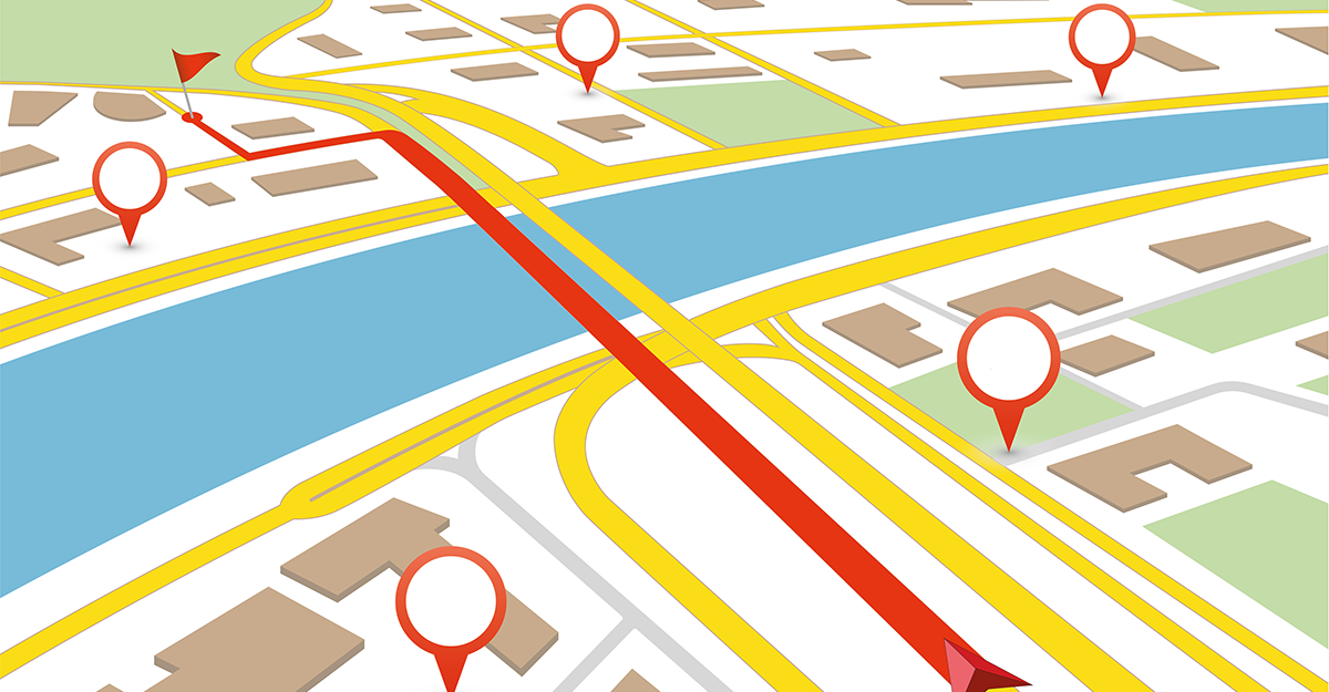
During complex emergencies or events, first responders often face several map-related challenges. Some of these challenges include having to utilize offline maps, data layers, and other geospatial data that contains important details and/or real-time data. During these events, first responders from different agencies, departments, towns, and even states may be called in, which means some responders and agencies will be responding to completely unfamiliar territory and largely operating without critical information upon which to make decisions.
Blueforce has deployed to scores of critical incident, disasters, and Phase 4 civil-military operations focused on security, stability, and reconstruction. During nearly all of these incidents a common request from multi-domain and mutual aid partners involved the need for access to geospatial data specific to critical infrastructure, fire hydrants, and map based pre-plans. As well, responding agencies typically use different geospatial, communications, and incident command systems and can be left “in the dark†if the Incident Command function is not using interoperable command and control systems.
 Several years ago, Blueforce supported the “Richmond Raceâ€, a regional bike race that started at Richmond Speedway (Virginia) and ran through six different municipalities. While Richmond Emergency Management leveraged Blueforce for tracking EMS and law enforcement across the 23-mile route, Virginia State Police (VSP) had no means to consume geospatial data in the Command Post or on the route. Within minutes of arrival, VSP was able to leverage Blueforce data through several “dynamic KML/KMZ feeds†using a free version of Google Earth. This is just one of three core capabilities needed when we think of “hyper-local†incident data required on the ground for decision support, localized to the area of operations.
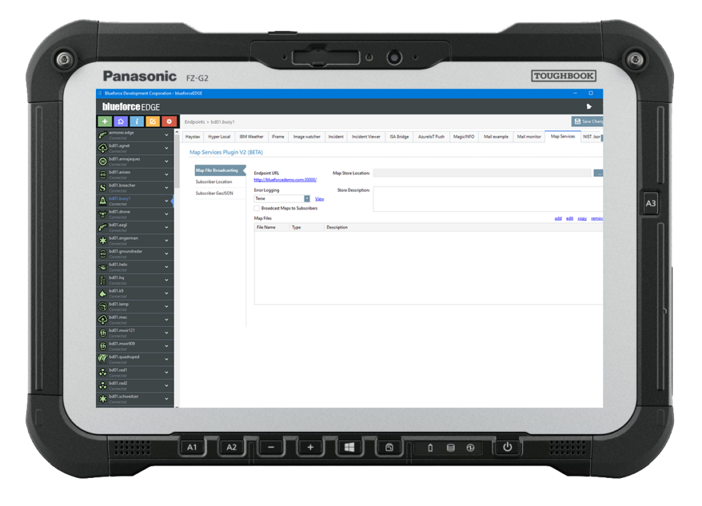
The Blueforce Map Services plugin for BlueforceEDGE mitigates many of these issues by enabling users to upload localized map files, KML/KMZ-based map layers, and offline maps to the plugin, which are then stored and made available when inter-agency and/or cross-domain entities respond to a “foreign landâ€. This means that a responder not familiar with “X†territory can simply subscribe to the BlueforceEDGE endpoint and have instant access to all relevant hyper-local map data and services. The plugin also creates a “dynamic KML/KMZ†feed that is updated every 60 seconds with location and basic meta-data about the person or endpoint subscribed to the plugin. This allows responders who do not have Blueforce but do have access to standards-based mapping applications to also have a single-pane-of-glass view of all responders and assets at a scene. To mitigate the challenge of a rapidly changing environment, these KML/KMZ feeds are automatically updated every 60 seconds, eliminating the need for first responders to manually refresh their maps. Finally, the Map Services plugin provides offline maps specific to a city, state, or municipality and shares a “dynamic KMLâ€.
In summary, the new Blueforce Map Services Plugin for BlueforceEDGE provides four key hyperlocal services for inter-agency and/or multi-domain response organizations that include:
- An ability to upload and share location-specific geospatial data overlays in the form of KML, KML, and GeoJSON.
- An ability to upload and share offline maps, but also CAD drawings of critical infrastructure and more.
- Dynamic and real-time KML/KMZ feeds of responder meta-data subscribed to the plugin, which can be displayed in any standards-based map system (e.g., Google Earth).
To learn more or arrange for a live demo, send an email to info@blueforcedev.com or call us at +1 866-960-0204.
